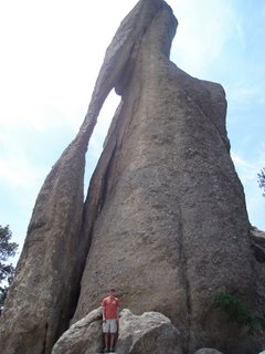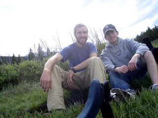
So last week, Nate and I went on our great western adventure. Borrowing his mom's styling and practical mini-van, we headed west. We drove from the Twin Cities to the Badlands of South Dakota in 9 hours. We made a breif stop in Albert Lee (middle of no where MN) to change the oil and watch some of the France vs. Switzerland game. Midwest-Mex is no Tex-Mex, and the oil change Nate's mom got while forgetting to add the new sticker in the window cost us $30! Once at the Badlands, we took the scenic drive through the park to the campground. We met a couple of girls from Nate's high school that recognized his honor student status proudly displayed on his bumper.

From the Badlands, we drove up to Rapid City to buy fuel and groceries before heading south to Custer State Park (CSP) via Mount Rushmore. For two months before the Sturgis Motorcycle Rally, there were plenty of choppers. It was a great place to drive with curvy roads and beautiful scenary. At CSP we did some mountain biking on the famous Centenial Trail (a 100 mile trail spanning all the state's habitats). It was really hard but fun nonetheless.

From CSP we headed west to Devil's Tower, an intermediary stop on our way to Cloud Peak Wilderness. Devil's Tower is a rather isolated place. The tower is stunning to look at any time of day or night. Make sure to get there early to get a campsite with a view of the tower. The best hike there is the Joyner Ridge Trail. It is quieter and provides a view of the tower in its surroundings rather than peering straight up from the base. The other oddity is the extremely high level of repitition of the information in signage and posters. "...The top of the tower is roughly the size of a football field, only slightly domed... Climbers share the top with chipmunks and the ocasional snake..."

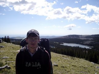
From the Tower we headed further west to Buffalo, Wyoming to stage for our backpacking trip into the nearby Cloud Peak Wilderness. A quick deffinition of wilderness: an area where the earth and its community of life are untrammelled by man, where man himself is a visitor who does not remain. The Cloud Peak Wilderness (CPW) is extremely rugged, situated in the Bighorn Mountains. Cloud Peak itself is about 13,000 ft tall.

Though we orriginally intended to scramble to the top of the peak, we found out that the closely spaced lines on the topographic map are much more difficult in person. We adapted our hike to simply explore and enjoy. We met a few families from the Twin Cities at the trail head, but saw only one other group in passing while in the wilderness itself. We saw many moose at our second campsite along a boggy lake. Fortunately, the only signs of bears and mountain lions we saw were old footprints. Walking many trails has piqued my curiosity in reading footprints and tracking. I'll be reading up on that a bit more instead of something useful.


I'll be doing my best to post some pictures soon. Any thoughts on a good picture posting site? Photobucket is awesome!
1 comment:
Hey! Thanks for the suggestion, I'm trying it out right now. I'll add a link to my photobucket page shortly.
How's summer going?
Post a Comment